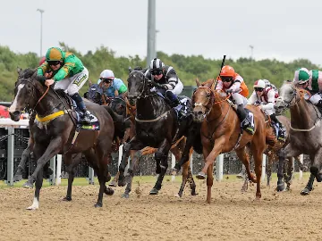
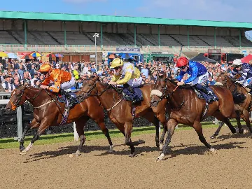
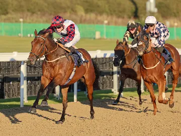
Newcastle Racecourse is proudly located within the 812 acre estate of High Gosforth Park.
To help you find your way around you can download our racecourse map ahead of your visit. On the map you’ll be able to locate all our popular areas such as the Grandstand Hall, Parade Ring and Winning Post, alongside essential amenities including toilets and first-aid. Our Accessible Viewing area is also clearly displayed on the map.
If you’ve booked a hospitality package in one of our restaurants or private boxes, you’ll be able to find these with ease on our map.
Newcastle Racecourse also boasts its very own contemporary gastropub, Border Minstrel, which is shown on the map for those who fancy a pint and some excellent locally sourced North East produce.